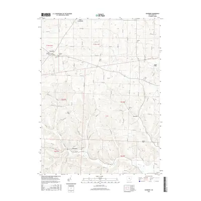
2016 Map of Glenmont
USGS Topo · Published 2016About this map
Nashville and Glenmont anchor this rural landscape in Holmes County, where local history is preserved across a network of numerous small burial grounds and country roads. The map reveals the intricate drainage patterns of Black Cr, Paint Cr, and Shrimplin Cr, which carve through the high ground of Bell Ridge and Buffalo Ridge. Genealogists will find a high density of cemetery sites, ranging from the Nashville Methodist Cem and Presbyterian Cem in the northwest to the Sunnyside Cem and Welcome Cem further south. These sites, along with the Old Dutch Lutheran Cem and Temple Cem, speak to the deep-seated denominational roots of the area's early settlers. The settlement pattern remains largely defined by crossroads and small valleys, with Miley Crossroads and Paint Valley marking key intersections in the regional road system that connects these tight-knit communities.
Find a feature on this map
88 named features on this map. Tap any name to fly to it.
Don’t see what you’re looking for? This feature index may not catch every label — zoom into the map to look around manually.
Map Details
Editions of this 2016 Glenmont Map
This is the sole edition of this map. No revisions or reprints were ever made.
Other maps of this area
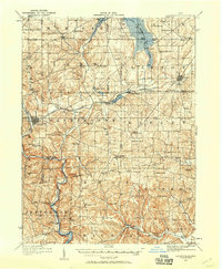
1912 · Loudonville
USGS Topo · 1:62,500
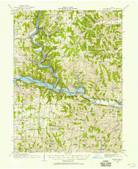
1913 · Brinkhaven
USGS Topo · 1:62,500
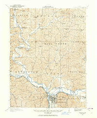
1913 · Coshocton
USGS Topo · 1:62,500
1914 · Loudonville
USGS Topo · 1:62,500
1915 · Brinkhaven
USGS Topo · 1:62,500
1915 · Millersburg
USGS Topo · 1:62,500
1915 · Coshocton
USGS Topo · 1:62,500
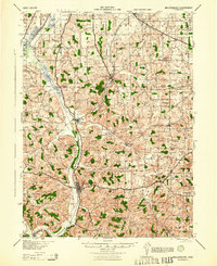
1943 · Millersburg
USGS Topo · 1:62,500
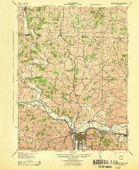
1943 · Coshocton
USGS Topo · 1:62,500
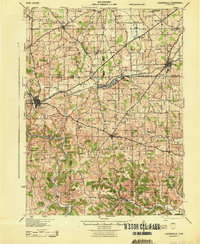
1943 · Loudonville
USGS Topo · 1:62,500