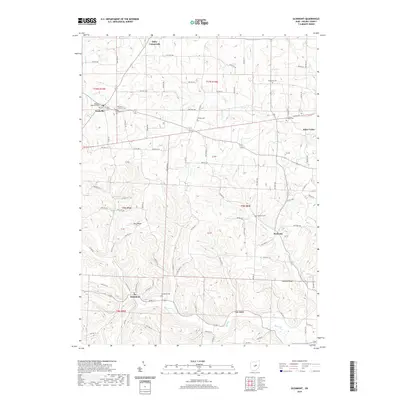
2019 Map of Glenmont
USGS Topo · Published 2019About this map
Glenmont occupies a prominent position in the southern valley where Black Cr flows near the intersection of several local routes like Depot St. The landscape is defined by its numerous small settlements and burial sites, which reveal the deep roots of the local community. To the north, Nashville serves as a hub for several congregations, evidenced by the Old Dutch Lutheran Cem, Nashville Methodist Cem, and Presbyterian Cem.
Find a feature on this map
98 named features on this map. Tap any name to fly to it.
Don’t see what you’re looking for? This feature index may not catch every label — zoom into the map to look around manually.
Map Details
Editions of this 2019 Glenmont Map
This is the sole edition of this map. No revisions or reprints were ever made.
Other maps of this area

1912 · Loudonville
USGS Topo · 1:62,500

1913 · Brinkhaven
USGS Topo · 1:62,500

1913 · Coshocton
USGS Topo · 1:62,500

1914 · Loudonville
USGS Topo · 1:62,500

1915 · Brinkhaven
USGS Topo · 1:62,500

1915 · Millersburg
USGS Topo · 1:62,500

1915 · Coshocton
USGS Topo · 1:62,500

1943 · Millersburg
USGS Topo · 1:62,500

1943 · Coshocton
USGS Topo · 1:62,500

1943 · Loudonville
USGS Topo · 1:62,500