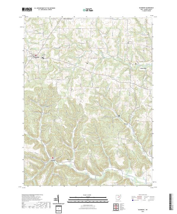
2023 Map of Glenmont
USGS Topo · Published 2023About this map
The hills of western Holmes County are defined by a network of ridges and winding creeks, most notably Bell Ridge and Buffalo Ridge. The settlement of Nashville serves as a northern anchor, where local history is concentrated around the Nashville Methodist Cem, Old Dutch Lutheran Cem, and Presbyterian Cem. This concentration of religious and burial sites suggests a long-established community structure common in rural Ohio at the height of its agricultural development. To the south, the village of Glenmont sits near the banks of Black Creek, while smaller hamlets like Welcome and Paint Valley are tucked into the valleys of Shrimplin Creek and Paint Creek. The landscape is etched with township and county roads that follow the natural topography, connecting isolated farmsteads and numerous family cemeteries like Sunnyside Cem and Temple Cem across the high ground.
Find a feature on this map
97 named features on this map. Tap any name to fly to it.
Don’t see what you’re looking for? This feature index may not catch every label — zoom into the map to look around manually.
Map Details
Editions of this 2023 Glenmont Map
This is the sole edition of this map. No revisions or reprints were ever made.
Other maps of this area

1912 · Loudonville
USGS Topo · 1:62,500

1913 · Brinkhaven
USGS Topo · 1:62,500

1913 · Coshocton
USGS Topo · 1:62,500

1914 · Loudonville
USGS Topo · 1:62,500

1915 · Brinkhaven
USGS Topo · 1:62,500

1915 · Millersburg
USGS Topo · 1:62,500

1915 · Coshocton
USGS Topo · 1:62,500

1943 · Millersburg
USGS Topo · 1:62,500

1943 · Coshocton
USGS Topo · 1:62,500

1943 · Loudonville
USGS Topo · 1:62,500