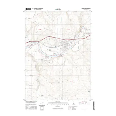
2017 Map of Glenns Ferry
USGS Topo · Published 2017About this map
Glenns Ferry serves as a focal point along the northern bank of the Snake River, situated where the river’s historical crossing points meet modern infrastructure. The landscape is defined by the steep descent of Rosevear Gulch and the drainage of Little Canyon Cr, which flow toward the fertile river valley. This 2017 survey details the complex network of water management and transit, featuring the King Hill Main Canal and the prominent Slick Bridge. To the west, Three Island State Park marks a significant waypoint on the Old Oregon Trail Hwy, encompassing the Indian Hole Pond. The topography south of the river rises toward Deadman Flat and Deadman Canyon, where the drop at Deadman Falls illustrates the dramatic change in elevation that characterizes the region's basalt-rimmed canyons.
Find a feature on this map
61 named features on this map. Tap any name to fly to it.
Don’t see what you’re looking for? This feature index may not catch every label — zoom into the map to look around manually.
Map Details
Editions of this 2017 Glenns Ferry Map
This is the sole edition of this map. No revisions or reprints were ever made.
Other maps of this area
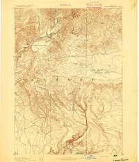
1892 · Camas Prairie
USGS Topo · 1:125,000
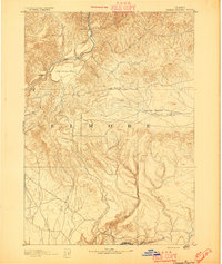
1893 · Camas Prairie
USGS Topo · 1:125,000
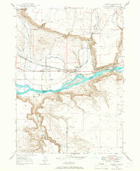
1947 · Hammett
USGS Topo · 1:24,000
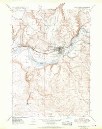
1947 · Glenns Ferry
USGS Topo · 1:24,000
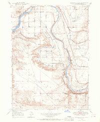
1947 · Pasadena Valley
USGS Topo · 1:24,000
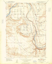
1948 · Pasadena Valley
USGS Topo · 1:24,000
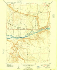
1948 · Hammett
USGS Topo · 1:24,000
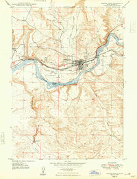
1948 · Glenns Ferry
USGS Topo · 1:24,000
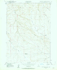
1948 · Twentymile Butte
USGS Topo · 1:24,000
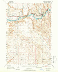
1948 · Glenns Ferry
USGS Topo · 1:62,500