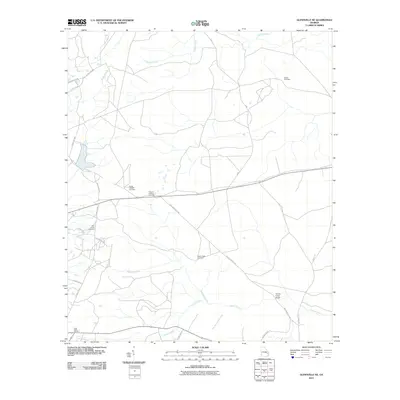
2011 Map of Glennville NE
USGS Topo · Published 2011About this map
Taylors Creek and its many tributaries, including Slades Branch and Kirkland Creek, define this rural section of Liberty County at the start of the 21st century. The landscape is characterized by a high density of historical burial grounds and small community sanctuaries, suggesting a deeply rooted local history and genealogy. Several of these sites, such as the Smith Chapel Cemetery and Gaps of the Bays Cemetery, are positioned near the distinctive terrain of Gaps of the Bays.
Find a feature on this map
27 named features on this map. Tap any name to fly to it.
Don’t see what you’re looking for? This feature index may not catch every label — zoom into the map to look around manually.
Map Details
Editions of this 2011 Glennville NE Map
This is the sole edition of this map. No revisions or reprints were ever made.
Other maps of this area

1918 · Hinesville
USGS Topo · 1:62,500

1919 · Claxton
USGS Topo · 1:62,500

1920 · Pembroke
USGS Topo · 1:62,500

1920 · Glennville
USGS Topo · 1:62,500

1944 · Claxton
USGS Topo · 1:62,500

1944 · Glennville
USGS Topo · 1:62,500

1944 · Hinesville
USGS Topo · 1:62,500

1946 · Brunswick
USGS Topo · 1:250,000

1947 · Savannah
USGS Topo · 1:250,000

1948 · Brunswick
USGS Topo · 1:250,000