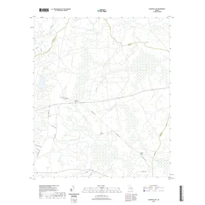
2020 Map of Glennville NE
USGS Topo · Published 2020About this map
Taylors Cr and Old Millhead Branch wind through this corner of Southeast Georgia, where the boundaries of Liberty, Long, and Tattnall counties converge. The landscape is defined by its numerous rural burial grounds, which serve as primary landmarks in an area otherwise dominated by woodland and waterways. Genealogists and local historians can locate several family and community sites, including Bethel Cem, Poplar Head Cem, and the uniquely named Gaps of the Bays Cem. Central transportation is anchored by Walthourville Rd, which crosses the northern reaches of Kirkland Cr and leads toward the Taylors Creek Bridge. Smaller local routes like Anderson Way and Joe Walker Way provide access to older homestead areas such as Oak Grove Cem and Smith Chapel Cem, reflecting the deep-rooted settlement patterns of this coastal plain region.
Find a feature on this map
27 named features on this map. Tap any name to fly to it.
Don’t see what you’re looking for? This feature index may not catch every label — zoom into the map to look around manually.
Map Details
Editions of this 2020 Glennville NE Map
This is the sole edition of this map. No revisions or reprints were ever made.
Other maps of this area

1918 · Hinesville
USGS Topo · 1:62,500

1919 · Claxton
USGS Topo · 1:62,500

1920 · Pembroke
USGS Topo · 1:62,500

1920 · Glennville
USGS Topo · 1:62,500

1944 · Claxton
USGS Topo · 1:62,500

1944 · Glennville
USGS Topo · 1:62,500

1944 · Hinesville
USGS Topo · 1:62,500

1946 · Brunswick
USGS Topo · 1:250,000

1947 · Savannah
USGS Topo · 1:250,000

1948 · Brunswick
USGS Topo · 1:250,000