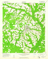
1958 Map of Glennville
USGS Topo · Published 1961About this map
Glennville serves as the central hub for this corner of southeast Georgia, shown here in the late 1950s as a thriving crossroads community. The landscape is defined by its agricultural and industrial character, particularly evident in the series of millponds such as Edwards Millpond and Dickey Poppell Millpond that dot the watercourses. Smaller settlements like Mendes and Lynn flank the main town, while the eastern edge of the quadrangle is marked by the boundary of the Fort Stewart Military Reservation, indicating the significant military presence in the region.
Find a feature on this map
35 named features on this map. Tap any name to fly to it.
Don’t see what you’re looking for? This feature index may not catch every label — zoom into the map to look around manually.
Map Details
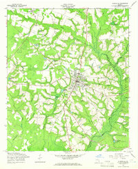
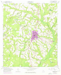
Editions of this 1958 Glennville Map
Other maps of this area

1919 · Claxton
USGS Topo · 1:62,500

1920 · Glennville
USGS Topo · 1:62,500

1944 · Claxton
USGS Topo · 1:62,500

1944 · Glennville
USGS Topo · 1:62,500

1946 · Brunswick
USGS Topo · 1:250,000

1947 · Savannah
USGS Topo · 1:250,000

1948 · Brunswick
USGS Topo · 1:250,000

1948 · Savannah
USGS Topo · 1:250,000

1950 · Glennville
USGS Topo · 1:62,500

1950 · Claxton
USGS Topo · 1:62,500