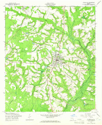
1958 Map of Glennville
USGS Topo · Published 1966About this map
Glennville serves as the central hub of this 1950s Georgia landscape, where the agricultural and social life of the rural Tattnall County area is recorded in detail. The settlement patterns reflect a community tied to the land and water, with several impoundments such as Edwards Millpond and Browns Pond dotting the drainages of Beards Creek. Local social landmarks of the era are evident, including the Drive-in Theater and the local amusement spot, Kicks Playland.
Find a feature on this map
35 named features on this map. Tap any name to fly to it.
Don’t see what you’re looking for? This feature index may not catch every label — zoom into the map to look around manually.
Map Details
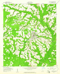
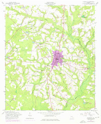
Editions of this 1958 Glennville Map
Other maps of this area

1919 · Claxton
USGS Topo · 1:62,500

1920 · Glennville
USGS Topo · 1:62,500

1944 · Claxton
USGS Topo · 1:62,500

1944 · Glennville
USGS Topo · 1:62,500

1946 · Brunswick
USGS Topo · 1:250,000

1947 · Savannah
USGS Topo · 1:250,000

1948 · Brunswick
USGS Topo · 1:250,000

1948 · Savannah
USGS Topo · 1:250,000

1950 · Glennville
USGS Topo · 1:62,500

1950 · Claxton
USGS Topo · 1:62,500