
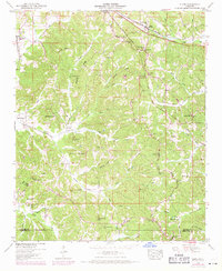
1950 Map of Glens
USGS Topo · Published 1954About this map
Jacinto stands near the southern edge of this map, reflecting its long history in Northeast Mississippi as a former county seat. The landscape is defined by the Tennessee Valley Divide, which cuts across the terrain, separating waters that flow toward the Tennessee River from those heading south. The Gulf Mobile and Ohio and Illinois Central railroads traverse the northern and eastern sections, anchoring the small settlements of Glens and Searcy Town. Numerous family names are preserved across the countryside, from Bennett Ridge and Bloodsaw Hill to a high density of small burial grounds like Malone Cem and Hardwick Cem. Local life centered around country institutions such as Antioch Church and the Hickory Flat School, which served the rural farming community before the consolidation of mid-century schools.
Find a feature on this map
69 named features on this map. Tap any name to fly to it.
Don’t see what you’re looking for? This feature index may not catch every label — zoom into the map to look around manually.
Map Details
Editions of this 1950 Glens Map
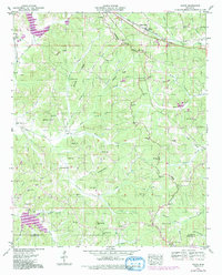
3 editions found
Other maps of this area

1921 · Booneville
USGS Topo · 1:48,000

1922 · Booneville
USGS Topo · 1:62,500

1935 · Holcut
USGS Topo · 1:24,000

1935 · Doskie
USGS Topo · 1:24,000

1935 · Leedy
USGS Topo · 1:24,000

1935 · Glens
USGS Topo · 1:24,000

1936 · Kendrick
USGS Topo · 1:24,000

1950 · Corinth
USGS Topo · 1:62,500

1950 · Kendrick
USGS Topo · 1:24,000

1950 · Paden
USGS Topo · 1:24,000