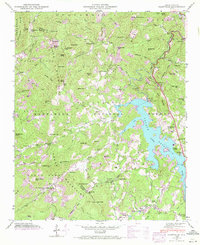
1946 Map of Glenville
USGS Topo · Published 1980About this map
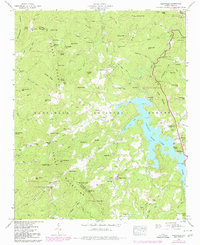
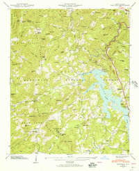
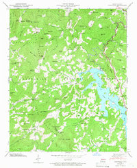
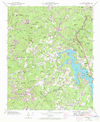
Thorpe Lake dominates this mountain landscape, a reservoir formed by the Thorpe Dam along the West Fork of the Tuckasegee River. The map captures a transitional period for the area, balancing industrial utility with rural community life. While the Tuckasegee Power Plant and associated surge tanks indicate the development of hydroelectric resources, the surrounding slopes are dotted with the infrastructure of long-standing mountain settlements. Tiny hamlets and crossroads like Erastus and Glenville are anchored by local institutions such as Whiterock School, Yellow Mtn Church, and Hamburg Church.
Find a feature on this map
117 named features on this map. Tap any name to fly to it.
Don’t see what you’re looking for? This feature index may not catch every label — zoom into the map to look around manually.
Map Details
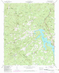
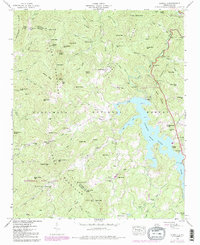
Editions of this 1946 Glenville Map
7 editions found
Other maps of this area

1891 · Cowee
USGS Topo · 1:125,000

1897 · Cowee
USGS Topo · 1:125,000

1907 · Cowee
USGS Topo · 1:125,000

1933 · Bryson
USGS Topo · 1:62,500

1935 · Cashiers
USGS Topo · 1:24,000

1935 · Tuckaseigee
USGS Topo · 1:24,000

1935 · Cullowhee
USGS Topo · 1:24,000

1935 · Scaly
USGS Topo · 1:24,000

1935 · Glenville
USGS Topo · 1:24,000

1935 · Corbin Knob
USGS Topo · 1:24,000