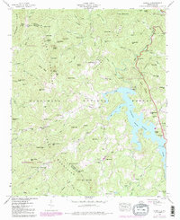
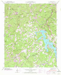
1946 Map of Glenville
USGS Topo · Published 1984About this map
Thorpe Lake dominates the central landscape of this Jackson County survey, showcasing the high-elevation reservoir as it appeared following its mid-century development. The Tuckasegee River enters from the northeast, its course modified by industrial infrastructure including a Power Plant, Surge Tank, and a significant Hydroelectric Tunnel that cuts through the mountains toward Pilot Mtn. The surrounding terrain is defined by the Cowee Mountains and Nantahal Mountains, where isolated communities and landmarks persist within the Nantahala National Forest.
Find a feature on this map
94 named features on this map. Tap any name to fly to it.
Don’t see what you’re looking for? This feature index may not catch every label — zoom into the map to look around manually.
Map Details
Editions of this 1946 Glenville Map
7 editions found
Other maps of this area

1891 · Cowee
USGS Topo · 1:125,000

1897 · Cowee
USGS Topo · 1:125,000

1907 · Cowee
USGS Topo · 1:125,000

1933 · Bryson
USGS Topo · 1:62,500

1935 · Cashiers
USGS Topo · 1:24,000

1935 · Tuckaseigee
USGS Topo · 1:24,000

1935 · Cullowhee
USGS Topo · 1:24,000

1935 · Scaly
USGS Topo · 1:24,000

1935 · Glenville
USGS Topo · 1:24,000

1935 · Corbin Knob
USGS Topo · 1:24,000