
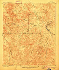
1902 Map of Globe
USGS Topo · Published 1902About this map
Globe serves as the industrial anchor of this Arizona territory survey, surrounded by a dense network of copper extraction sites. The copper boom of the early twentieth century is evident in the cluster of major operations like the Old Dominion Mine, Buffalo Mine, and Copper Hill Mine just north of the town center. Transportation for this mineral wealth is provided by the G. V. G. & N. R. R. which follows the drainage of Pinal Creek.
Find a feature on this map
50 named features on this map. Tap any name to fly to it.
Don’t see what you’re looking for? This feature index may not catch every label — zoom into the map to look around manually.
Map Details
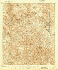
Editions of this 1902 Globe Map
3 editions found
Other maps of this area

1900 · Florence
USGS Topo · 1:125,000

1901 · Globe
USGS Topo · 1:62,500

1902 · Florence
USGS Topo · 1:125,000

1907 · Roosevelt
USGS Topo · 1:125,000

1909 · Four Peaks
USGS Topo · 1:125,000

1910 · Ray
USGS Topo · 1:62,500

1912 · Roosevelt
USGS Topo · 1:125,000

1915 · Christmas
USGS Topo · 1:62,500

1917 · Christmas
USGS Topo · 1:62,500

1922 · Chrysotile
USGS Topo · 1:125,000