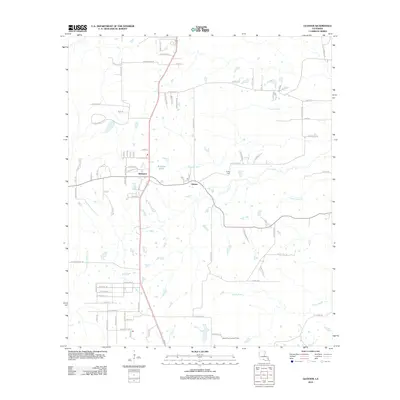
2012 Map of Gloster
USGS Topo · Published 2012About this map
Gloster and Kickapoo anchor this DeSoto Parish landscape as it appeared in the early 21st century. The terrain is defined by a dense network of drainages and family-named roads, with Edwards Bayou and Sand Bayou threading through the central reaches while Greenwood Cr flows to the east. The presence of the Grand Cane Lookout Tower in the south and Trinity Cem near Gloster highlights the region's long-standing land management and community roots.
Find a feature on this map
83 named features on this map. Tap any name to fly to it.
Don’t see what you’re looking for? This feature index may not catch every label — zoom into the map to look around manually.
Map Details
Editions of this 2012 Gloster Map
This is the sole edition of this map. No revisions or reprints were ever made.
Other maps of this area

1945 · Grand Cane
USGS Topo · 1:62,500

1945 · Greenwood
USGS Topo · 1:62,500

1945 · Mansfield
USGS Topo · 1:62,500

1947 · Mansfield
USGS Topo · 1:62,500

1948 · Caspiana
USGS Topo · 1:62,500

1955 · Shreveport
USGS Topo · 1:250,000

1955 · Caspiana
USGS Topo · 1:62,500

1955 · Greenwood
USGS Topo · 1:62,500

1956 · Shreveport
USGS Topo · 1:250,000
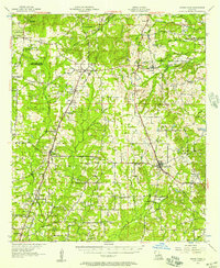
1957 · Grand Cane
USGS Topo · 1:62,500