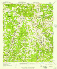
1957 Map of Grand Cane
USGS Topo · Published 1957About this map
Park Dota Plantation and Roseneath Plantation anchor the landscape of northern De Soto Parish, showing the enduring spatial patterns of late-19th and early-20th-century agriculture. This mid-century survey reveals a transition in rural education, noting several discontinued sites like the Burrus Sch (Abandoned) and Little Rock Sch (Abandoned), while the Longstreet Rosenwald Sch remains a significant marker of community history near Longstreet. The region is defined by a dense network of country churches, including Mary Evergreen Ch and New Zion Ch, which served dispersed settlements throughout the hills. Rail transport via the Texas and Pacific and Southern lines connects the primary villages of Keatchie, Gloster, and Grand Cane, crossing numerous water bodies such as Castor Bayou and Keatchie Bayou that dictate the local topography.
Find a feature on this map
52 named features on this map. Tap any name to fly to it.
Don’t see what you’re looking for? This feature index may not catch every label — zoom into the map to look around manually.
Map Details
Editions of this 1957 Grand Cane Map
2 editions found
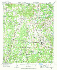
Other maps of this area

1941 · Pelican
USGS Topo · 1:62,500

1943 · Waskom
USGS Topo · 1:62,500

1943 · Pleasant Hill
USGS Topo · 1:62,500

1944 · Logansport
USGS Topo · 1:62,500

1944 · Pleasant Hill
USGS Topo · 1:62,500

1945 · Grand Cane
USGS Topo · 1:62,500

1945 · Waskom
USGS Topo · 1:62,500

1945 · Greenwood
USGS Topo · 1:62,500

1945 · Socagee Bayou
USGS Topo · 1:62,500

1945 · Mansfield
USGS Topo · 1:62,500