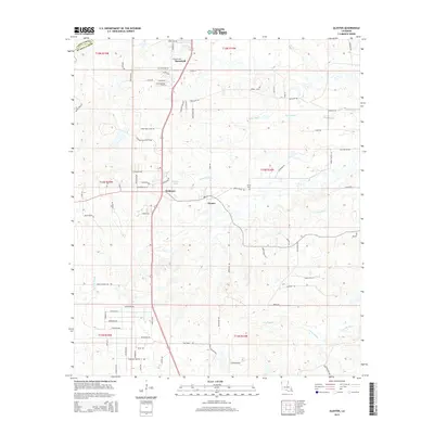
2015 Map of Gloster
USGS Topo · Published 2015About this map
Stonewall and the small settlements of Gloster and Kickapoo anchor this portion of northern Louisiana, where the border between Caddo Parish and De Soto Parish is defined by a landscape of intricate bayous. The drainage patterns of Edwards Bayou, Sand Bayou, and Caney Bayou reveal a topography of gentle elevation changes, carved out by these seasonal watercourses. Local history is evident in named locations such as Trinity Cemetery and several family-named roads, including Jessie Lattin Road and Cash Butler Road. The map also captures modern recreational and organizational hubs like the Dixie Swim Club and Garland Scout Ranch, which speak to the area's development outside the traditional town centers. Tracing these local landmarks provides a clear view of how rural DeSoto Parish has organized around its waterways and transit corridors.
Find a feature on this map
52 named features on this map. Tap any name to fly to it.
Don’t see what you’re looking for? This feature index may not catch every label — zoom into the map to look around manually.
Map Details
Editions of this 2015 Gloster Map
This is the sole edition of this map. No revisions or reprints were ever made.
Other maps of this area

1945 · Grand Cane
USGS Topo · 1:62,500

1945 · Greenwood
USGS Topo · 1:62,500

1945 · Mansfield
USGS Topo · 1:62,500

1947 · Mansfield
USGS Topo · 1:62,500

1948 · Caspiana
USGS Topo · 1:62,500

1955 · Shreveport
USGS Topo · 1:250,000

1955 · Caspiana
USGS Topo · 1:62,500

1955 · Greenwood
USGS Topo · 1:62,500

1956 · Shreveport
USGS Topo · 1:250,000
1957 · Grand Cane
USGS Topo · 1:62,500