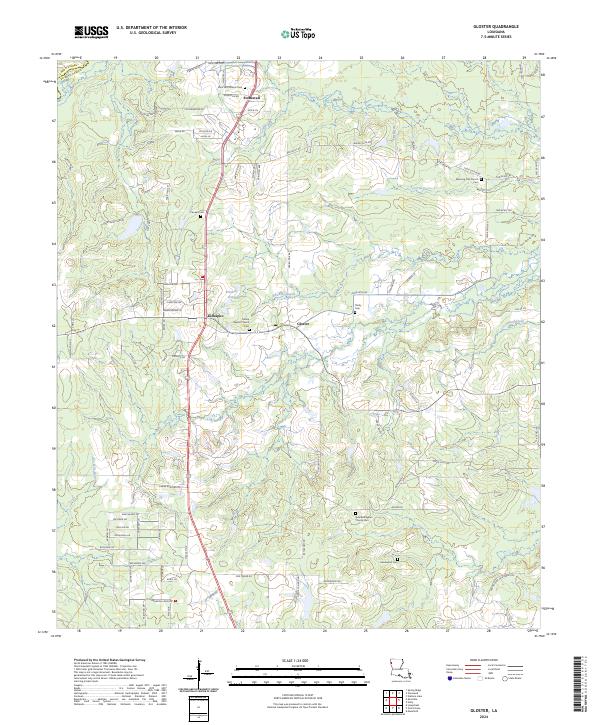
2024 Map of Gloster
USGS Topo · Published 2024About this map
Stonewall and Gloster anchor this modern topographical study of northwestern De Soto Parish, where the land transitions from the Caddo Parish line into a complex network of bayous and rural church settlements. The landscape is defined by its numerous historic congregations and associated burial grounds, including the Morning-Star-Church-Cem and Saint Ann Church Cem in the north, stretching down to Hazelwood Cem and the New Bethlehem Church Cem near the southern boundary.
Find a feature on this map
100 named features on this map. Tap any name to fly to it.
Don’t see what you’re looking for? This feature index may not catch every label — zoom into the map to look around manually.
Map Details
Editions of this 2024 Gloster Map
This is the sole edition of this map. No revisions or reprints were ever made.
Other maps of this area

1945 · Grand Cane
USGS Topo · 1:62,500

1945 · Greenwood
USGS Topo · 1:62,500

1945 · Mansfield
USGS Topo · 1:62,500

1947 · Mansfield
USGS Topo · 1:62,500

1948 · Caspiana
USGS Topo · 1:62,500

1955 · Shreveport
USGS Topo · 1:250,000

1955 · Caspiana
USGS Topo · 1:62,500

1955 · Greenwood
USGS Topo · 1:62,500

1956 · Shreveport
USGS Topo · 1:250,000
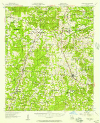
1957 · Grand Cane
USGS Topo · 1:62,500