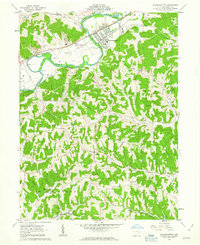
1962 Map of Gnadenhutten
USGS Topo · Published 1963About this map
The Tuscarawas River winds through this Tuscarawas County landscape, defining the industrial and agricultural character of the early 1960s. The village of Gnadenhutten serves as a primary hub, marked by the Gnadenhutten Monument, a significant site of local memory. To the west, the curious settlement of Seventeen sits along the Pennsylvania railroad line, while the southern reaches of the map around Gilmore are dominated by a sprawling Oil Field and multiple pipelines, reflecting the region's mid-century energy production.
Find a feature on this map
38 named features on this map. Tap any name to fly to it.
Don’t see what you’re looking for? This feature index may not catch every label — zoom into the map to look around manually.
Map Details
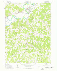
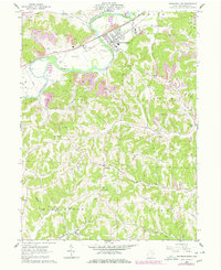
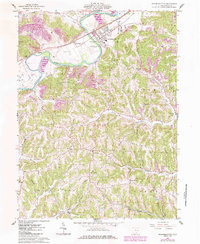
Editions of this 1962 Gnadenhutten Map
4 editions found
Other maps of this area

1909 · Antrim
USGS Topo · 1:48,000

1909 · Uhrichsville
USGS Topo · 1:62,500

1909 · Cambridge
USGS Topo · 1:62,500

1911 · Antrim
USGS Topo · 1:62,500

1911 · Uhrichsville
USGS Topo · 1:62,500

1911 · Newcomerstown
USGS Topo · 1:62,500

1912 · Cambridge
USGS Topo · 1:62,500

1913 · Newcomerstown
USGS Topo · 1:62,500

1943 · Newcomerstown
USGS Topo · 1:62,500

1951 · Canton
USGS Topo · 1:250,000