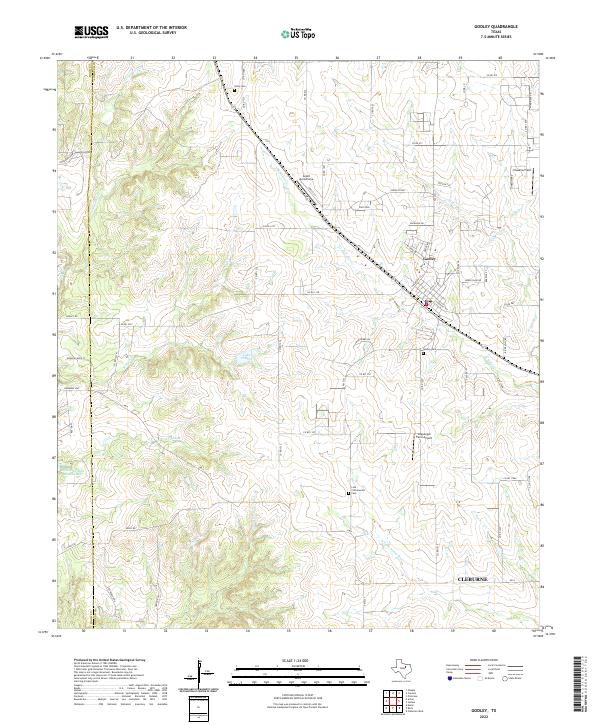
2022 Map of Godley
USGS Topo · Published 2022About this map
The town of Godley serves as the focal point of this North Texas landscape, situated along the Hood Co Johnson Co boundary line. This modern survey illustrates a region where ranching heritage and small-town infrastructure meet, defined by the winding course of the Nolan River and the W Fork Nolan River. Local aviation is a notable characteristic of the area, with Aresti Aerodrome, Hawkins Field, and the Coppenger Farm Airport dispersed across the countryside.
Find a feature on this map
67 named features on this map. Tap any name to fly to it.
Don’t see what you’re looking for? This feature index may not catch every label — zoom into the map to look around manually.
Map Details
Editions of this 2022 Godley Map
This is the sole edition of this map. No revisions or reprints were ever made.
Other maps of this area

1889 · Granbury
USGS Topo · 1:125,000

1891 · Weatherford
USGS Topo · 1:125,000

1891 · Cleburne
USGS Topo · 1:125,000

1893 · Weatherford
USGS Topo · 1:125,000

1894 · Cleburne
USGS Topo · 1:125,000

1894 · Fort Worth
USGS Topo · 1:125,000

1923 · Granbury 1-b
USGS Topo · 1:48,000

1924 · Granbury 1-c
USGS Topo · 1:48,000

1928 · Godley
USGS Topo · 1:62,500

1954 · Dallas
USGS Topo · 1:250,000