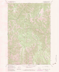
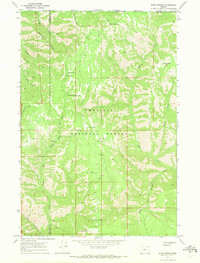
1967 Map of Godman Spring
USGS Topo · Published 1983About this map
The Umatilla National Forest occupies this high-elevation landscape along the border of Washington and Oregon. At the center of the region's management and access is the Godman Guard Sta and the nearby Godman Spring, situated along the Kendall Skyline Road. The terrain is defined by deep drainages like Green Canyon and the North Fork Touchet River, which carve between prominent landforms such as Chase Mountain and Sawtooth Ridge.
Find a feature on this map
55 named features on this map. Tap any name to fly to it.
Don’t see what you’re looking for? This feature index may not catch every label — zoom into the map to look around manually.
Map Details
Editions of this 1967 Godman Spring Map
3 editions found
Other maps of this area

1937 · Pomeroy
USGS Topo · 1:96,000

1942 · Pomeroy
USGS Topo · 1:125,000

1955 · Pullman
USGS Topo · 1:250,000

1955 · Grangeville
USGS Topo · 1:250,000

1958 · Pullman
USGS Topo · 1:250,000

1959 · Grangeville
USGS Topo · 1:250,000
1967 · Robinette Mtn.
USGS Topo · 1:24,000

1967 · Elbow Creek
USGS Topo · 1:24,000
1967 · Bone Spring
USGS Topo · 1:24,000

1967 · Oregon Butte
USGS Topo · 1:24,000