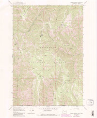
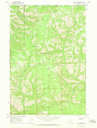
1967 Map of Godman Spring
USGS Topo · Published 1983About this map
Godman Guard Sta stands at a high-elevation junction in the Blue Mountains, serving as a hub for the network of fire lookouts and forest management within the Umatilla National Forest. This mapping effort from the mid-1960s, with later updates, details a landscape defined by critical water sources and rugged ridgelines. Named springs like Stayawhile Spring and Manilla Spring dot the terrain, which transitions from the high peaks of Chase Mountain down into the drainage of the North Fork Touchet River. Historical livestock management is evident in the presence of the Touchet Corral and Burnt Flat Corral. The map also captures the Wenha-Tucannon Wilderness Boundary and high-altitude encampments such as Lady Camp, providing a detailed look at the infrastructure of the backcountry during this era of forest administration.
Find a feature on this map
52 named features on this map. Tap any name to fly to it.
Don’t see what you’re looking for? This feature index may not catch every label — zoom into the map to look around manually.
Map Details
Editions of this 1967 Godman Spring Map
3 editions found
Other maps of this area

1937 · Pomeroy
USGS Topo · 1:96,000

1942 · Pomeroy
USGS Topo · 1:125,000

1955 · Pullman
USGS Topo · 1:250,000

1955 · Grangeville
USGS Topo · 1:250,000

1958 · Pullman
USGS Topo · 1:250,000

1959 · Grangeville
USGS Topo · 1:250,000
1967 · Robinette Mtn.
USGS Topo · 1:24,000

1967 · Elbow Creek
USGS Topo · 1:24,000
1967 · Bone Spring
USGS Topo · 1:24,000

1967 · Oregon Butte
USGS Topo · 1:24,000