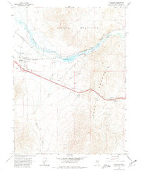
1965 Map of Golconda
USGS Topo · Published 1981About this map
Golconda serves as the focal point for this mid-1960s survey of the Nevada high desert, where the Southern Pacific and Western Pacific railroads parallel the winding course of the Humboldt River. The landscape is defined by the steep rises of the Osgood Mountains to the north and Edna Mountain to the south, separated by the narrow passage of Emigrant Canyon. Local industrial activity is evident through the Golconda Mine and various extractive sites such as Borrow Pit and several unnamed mines dotting the slopes.
Find a feature on this map
18 named features on this map. Tap any name to fly to it.
Don’t see what you’re looking for? This feature index may not catch every label — zoom into the map to look around manually.
Map Details
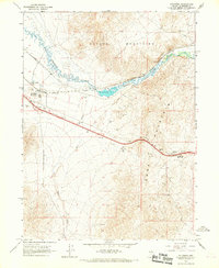
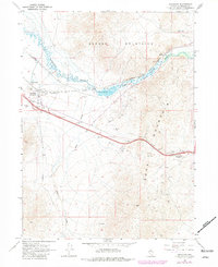
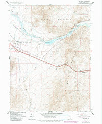
Editions of this 1965 Golconda Map
4 editions found
Other maps of this area

1882 · Paradise
USGS Topo · 1:250,000

1893 · Paradise
USGS Topo · 1:250,000

1932 · Sonoma Range
USGS Topo · 1:250,000

1939 · Sonoma Range
USGS Topo · 1:250,000

1945 · Osgood Mountains
USGS Topo · 1:62,500

1947 · Osgood Mountains
USGS Topo · 1:62,500

1955 · McDermitt
USGS Topo · 1:250,000

1955 · Winnemucca
USGS Topo · 1:250,000

1958 · Winnemucca
USGS Topo · 1:250,000

1958 · Winnemucca
USGS Topo · 1:62,500