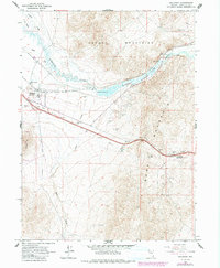
1965 Map of Golconda
USGS Topo · Published 1991About this map
The Humboldt River carves a critical path through this high desert terrain, serving as the focal point for settlement and industry during the mid-1960s. The town of Golconda is situated along its banks, notably characterized by the Hot Spring and proximity to the Osgood Mountains and Edna Mountain. The landscape reveals a heavy reliance on mineral resources, with the Golconda Mine and numerous prospects scattered across the mountain slopes.
Find a feature on this map
23 named features on this map. Tap any name to fly to it.
Don’t see what you’re looking for? This feature index may not catch every label — zoom into the map to look around manually.
Map Details
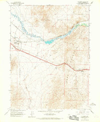
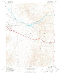
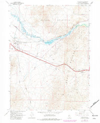
Editions of this 1965 Golconda Map
4 editions found
Other maps of this area

1882 · Paradise
USGS Topo · 1:250,000

1893 · Paradise
USGS Topo · 1:250,000

1932 · Sonoma Range
USGS Topo · 1:250,000

1939 · Sonoma Range
USGS Topo · 1:250,000

1945 · Osgood Mountains
USGS Topo · 1:62,500

1947 · Osgood Mountains
USGS Topo · 1:62,500

1955 · McDermitt
USGS Topo · 1:250,000

1955 · Winnemucca
USGS Topo · 1:250,000

1958 · Winnemucca
USGS Topo · 1:250,000

1958 · Winnemucca
USGS Topo · 1:62,500