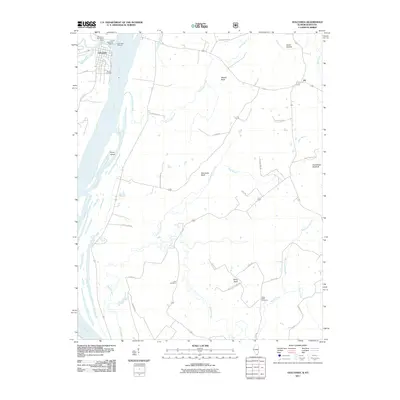
2011 Map of Golconda
USGS Topo · Published 2011About this map
Golconda sits at the confluence of the Ohio River and Lusk Creek, serving as a focal point for river travel and recreation in Pope County. The landscape is defined by the broad river corridor and notable terrain features like Mantle Rock and Newmans Bluff that overlook the winding tributaries. This 2011 survey captures the area's mix of riverside industry and inland rural life, with the Golconda Marina and Lusk Creek Marina anchoring the local waterfront economy. Further inland, the map records long-standing family and community sites, including the Lay Cemetery and Duley Bluff Cemetery. These locations, along with small settlements like Joy and Barton Landing, illustrate a pattern of development tied closely to both the fertile river bottomlands and the higher bluffs. Local travel is marked by established routes like Mt Pisgah Church Rd and Cave Springs Rd, which connect scattered homesteads to the river’s edge.
Find a feature on this map
43 named features on this map. Tap any name to fly to it.
Don’t see what you’re looking for? This feature index may not catch every label — zoom into the map to look around manually.
Map Details
Editions of this 2011 Golconda Map
This is the sole edition of this map. No revisions or reprints were ever made.
Other maps of this area

1916 · Golconda
USGS Topo · 1:62,500

1917 · Brownfield
USGS Topo · 1:62,500

1920 · Goloonda
USGS Topo · 1:48,000

1921 · Golconda
USGS Topo · 1:62,500

1926 · Paducah
USGS Topo · 1:62,500

1929 · Smithland
USGS Topo · 1:62,500

1929 · Paducah
USGS Topo · 1:62,500

1936 · Smithland
USGS Topo · 1:48,000

1940 · Paducah
USGS Topo · 1:62,500
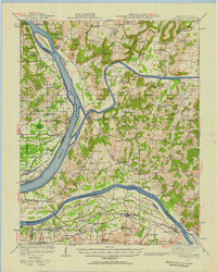
1942 · Smithland
USGS Topo · 1:62,500