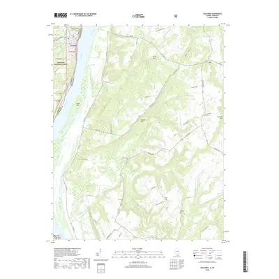
2018 Map of Golconda
USGS Topo · Published 2018About this map
Golconda sits on the western bank of the Ohio River, serving as a historic river town where the Illinois and Kentucky borders meet. This landscape is defined by its dramatic riverside topography, featuring prominent elevations such as Rauchfuss Hill and a series of bluffs including Newmans Bluff, Duley Bluff, and Goodhope Bluff. To the south, the village of Bay City marks the riverside, while the small settlement of Joy is tucked into the northeastern corner of the quadrangle.
Find a feature on this map
60 named features on this map. Tap any name to fly to it.
Don’t see what you’re looking for? This feature index may not catch every label — zoom into the map to look around manually.
Map Details
Editions of this 2018 Golconda Map
This is the sole edition of this map. No revisions or reprints were ever made.
Other maps of this area
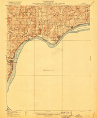
1916 · Golconda
USGS Topo · 1:62,500
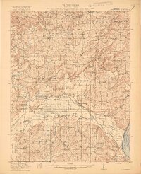
1917 · Brownfield
USGS Topo · 1:62,500
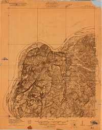
1920 · Goloonda
USGS Topo · 1:48,000
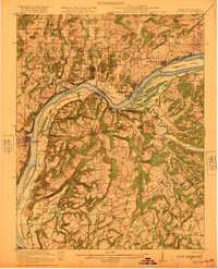
1921 · Golconda
USGS Topo · 1:62,500
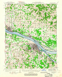
1926 · Paducah
USGS Topo · 1:62,500
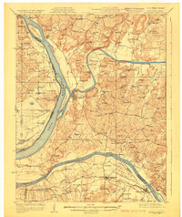
1929 · Smithland
USGS Topo · 1:62,500
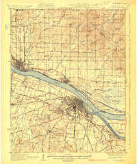
1929 · Paducah
USGS Topo · 1:62,500
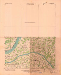
1936 · Smithland
USGS Topo · 1:48,000
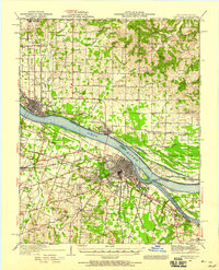
1940 · Paducah
USGS Topo · 1:62,500
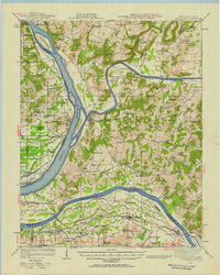
1942 · Smithland
USGS Topo · 1:62,500