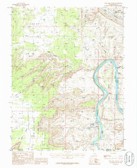
1985 Map of Gold Bar Canyon
USGS Topo · Published 1986About this map
The Colorado River carves a deep, winding path through the high desert of the Colorado Plateau in this mid-1980s topographical study. The industrial site at Potash stands as a significant human imprint on the riverbank, linked by a Transmission Line and surrounded by the massive sandstone formations of Amasa Back and Jackson Hole. Along the river's tight oxbows, distinctive geological markers like The Jug Handle and The Billboard serve as navigational landmarks for both river travelers and backcountry explorers.
Find a feature on this map
31 named features on this map. Tap any name to fly to it.
Don’t see what you’re looking for? This feature index may not catch every label — zoom into the map to look around manually.
Map Details
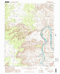
Editions of this 1985 Gold Bar Canyon Map
2 editions found
Other maps of this area

1885 · La Sal
USGS Topo · 1:250,000

1951 · The Knoll
USGS Topo · 1:62,500

1951 · Upheaval Dome
USGS Topo · 1:62,500

1952 · Moab 4 NW
USGS Topo · 1:24,000

1952 · Moab 3 NE
USGS Topo · 1:24,000

1952 · Moab 3 SE
USGS Topo · 1:24,000

1952 · Carlisle 2 NE
USGS Topo · 1:24,000

1952 · Moab 4 SW
USGS Topo · 1:24,000

1954 · Carlisle 1 NE
USGS Topo · 1:24,000

1954 · Carlisle 1 NW
USGS Topo · 1:24,000