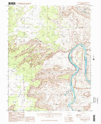
1985 Map of Gold Bar Canyon
USGS Topo · Published 1986About this map
The Colorado River carves a deep, winding path through the center of this 1985 survey, defining the transition between the high plateaus and the industrial activities at Potash. This landscape is marked by extreme elevation changes, from the expansive Big Flat and Arths Pasture in the northwest down to the river bottoms. The map captures the specialized infrastructure of the era, including a radio tower, tailings, and evaporation ponds near the river.
Find a feature on this map
32 named features on this map. Tap any name to fly to it.
Don’t see what you’re looking for? This feature index may not catch every label — zoom into the map to look around manually.
Map Details
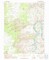
Editions of this 1985 Gold Bar Canyon Map
2 editions found
Other maps of this area

1885 · La Sal
USGS Topo · 1:250,000

1951 · The Knoll
USGS Topo · 1:62,500

1951 · Upheaval Dome
USGS Topo · 1:62,500

1952 · Moab 4 NW
USGS Topo · 1:24,000

1952 · Moab 3 NE
USGS Topo · 1:24,000

1952 · Moab 3 SE
USGS Topo · 1:24,000

1952 · Carlisle 2 NE
USGS Topo · 1:24,000

1952 · Moab 4 SW
USGS Topo · 1:24,000

1954 · Carlisle 1 NE
USGS Topo · 1:24,000

1954 · Carlisle 1 NW
USGS Topo · 1:24,000