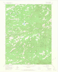
1957 Map of Gold Hill
USGS Topo · Published 1968About this map
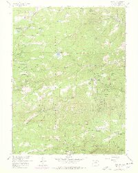
Roosevelt National Forest dominates this mid-century look at the Colorado Front Range, revealing a landscape defined by the legacies of the late 19th-century mining boom. The settlement of Gold Hill serves as a central hub, with the nearby Gold Hill Cem and Tahosa Boy Scout Camp marking the community's local footprint. The terrain is deeply incised by steep drainage systems like Lefthand Creek and Fourmile Creek, which provided water for the numerous claims dotting the mountainsides. Mining activity is densely concentrated near Summerville and Wallstreet, where dozens of named operations such as the Slide Mine, Victoria Mine, and Melvina Mine are recorded. This era shows the transition of the area from a pure extractive industry zone toward a recreation and residence destination, evidenced by sites like Lodge of the Pines, Switzerland Park, and Gold Lake Ranch.
Find a feature on this map
103 named features on this map. Tap any name to fly to it.
Don’t see what you’re looking for? This feature index may not catch every label — zoom into the map to look around manually.
Map Details
Editions of this 1957 Gold Hill Map
7 editions found
Other maps of this area

1899 · West Denver
USGS Topo · 1:125,000

1902 · Boulder
USGS Topo · 1:62,500

1904 · Boulder
USGS Topo · 1:62,500

1905 · Central City
USGS Topo · 1:62,500

1906 · Blackhawk
USGS Topo · 1:62,500

1910 · Central City
USGS Topo · 1:62,500

1912 · Central City
USGS Topo · 1:62,500

1915 · Longs Peak
USGS Topo · 1:125,000

1919 · Rocky Mountain National Park
USGS Topo · 1:125,000

1942 · Eldorado Springs
USGS Topo · 1:24,000