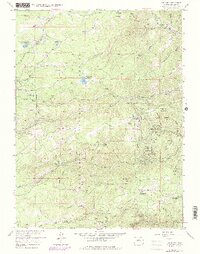
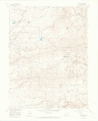
1957 Map of Gold Hill
USGS Topo · Published 1978About this map
Gold mining operations and mountain retreats dominate this landscape within the Roosevelt National Forest, where a dense network of shafts and tunnels marks a legacy of extraction. The settlement of Gold Hill sits at the heart of this district, surrounded by historic claims such as the Snowbound Mine, Cash Mine, and Melvina Mine. The map reveals the intricate geography of the Gold Run and Slaughterhouse Gulch, where industrial sites like Tailings Ponds and the Corning Tunnel are interspersed with early 20th-century recreational outposts like Tahosa Boy Scout Camp and Switzerland Park. Small mountain communities such as Jamestown, Summerville, and Wallstreet cling to the steep banks of James Creek and Fourmile Creek, reflecting a settlement pattern defined by the narrow gulches and the pursuit of mineral wealth.
Find a feature on this map
93 named features on this map. Tap any name to fly to it.
Don’t see what you’re looking for? This feature index may not catch every label — zoom into the map to look around manually.
Map Details
Editions of this 1957 Gold Hill Map
7 editions found
Other maps of this area

1899 · West Denver
USGS Topo · 1:125,000

1902 · Boulder
USGS Topo · 1:62,500

1904 · Boulder
USGS Topo · 1:62,500

1905 · Central City
USGS Topo · 1:62,500

1906 · Blackhawk
USGS Topo · 1:62,500

1910 · Central City
USGS Topo · 1:62,500

1912 · Central City
USGS Topo · 1:62,500

1915 · Longs Peak
USGS Topo · 1:125,000

1919 · Rocky Mountain National Park
USGS Topo · 1:125,000

1942 · Eldorado Springs
USGS Topo · 1:24,000