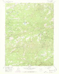
1957 Map of Gold Hill
USGS Topo · Published 1978About this map
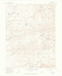
Roosevelt National Forest surrounds a network of historic mining camps and high-altitude settlements during this mid-century period. The town of Gold Hill serves as a primary anchor, accompanied by the Gold Hill Cem and the nearby operations of the Cash Mine and Victoria Mine. The map reveals a landscape heavily shaped by late 19th-century resource extraction, with dozens of named adits and tunnels like the Corning Tunnel and Slide Mine peppered across the gulches. Transportation and recreation are visible through the Tahosa Boy Scout Camp and various mountain retreats like the Lodge of the Pines. Along the southern edge, the rugged drainage of Boulder Creek flows past Boulder Falls, while the northern reaches include the established community of Jamestown and the recreational waters of Gold Lake. The dense concentration of mines near Summerville and Salina provides a clear view of the area's industrial legacy.
Find a feature on this map
105 named features on this map. Tap any name to fly to it.
Don’t see what you’re looking for? This feature index may not catch every label — zoom into the map to look around manually.
Map Details
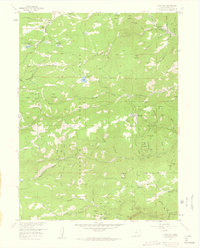
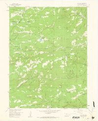
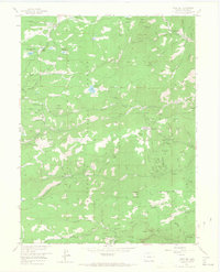
Editions of this 1957 Gold Hill Map
7 editions found
Other maps of this area

1899 · West Denver
USGS Topo · 1:125,000

1902 · Boulder
USGS Topo · 1:62,500

1904 · Boulder
USGS Topo · 1:62,500

1905 · Central City
USGS Topo · 1:62,500

1906 · Blackhawk
USGS Topo · 1:62,500

1910 · Central City
USGS Topo · 1:62,500

1912 · Central City
USGS Topo · 1:62,500

1915 · Longs Peak
USGS Topo · 1:125,000

1919 · Rocky Mountain National Park
USGS Topo · 1:125,000

1942 · Eldorado Springs
USGS Topo · 1:24,000