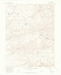
1957 Map of Gold Hill
USGS Topo · Published 1968About this map
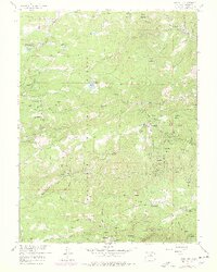
The mining camps and mountain settlements of the Roosevelt National Forest define this mid-century survey of the Colorado Front Range. At the center of the local economy and history is the town of Gold Hill, surrounded by a dense concentration of hard-rock mining claims including the Snowbound Mine, Victoria Mine, and the Blackhawk Mine. These operations follow the steep drainage of Lefthand Creek and its many gulches, where small communities like Summerville and Rowena once thrived alongside the resource extraction industry.
Find a feature on this map
99 named features on this map. Tap any name to fly to it.
Don’t see what you’re looking for? This feature index may not catch every label — zoom into the map to look around manually.
Map Details
Editions of this 1957 Gold Hill Map
7 editions found
Other maps of this area

1899 · West Denver
USGS Topo · 1:125,000

1902 · Boulder
USGS Topo · 1:62,500

1904 · Boulder
USGS Topo · 1:62,500

1905 · Central City
USGS Topo · 1:62,500

1906 · Blackhawk
USGS Topo · 1:62,500

1910 · Central City
USGS Topo · 1:62,500

1912 · Central City
USGS Topo · 1:62,500

1915 · Longs Peak
USGS Topo · 1:125,000

1919 · Rocky Mountain National Park
USGS Topo · 1:125,000

1942 · Eldorado Springs
USGS Topo · 1:24,000