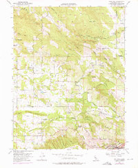
1954 Map of Gold Hill
USGS Topo · Published 1976About this map
Virginiatown and the nearby Dredge Tailings define this landscape's industrial character in the mid-1950s, illustrating the heavy footprint of historical hydraulic and dredging operations. The map documents a network of water transport systems essential for both mining and agriculture, including the Caperton Canal and various ravines like Doty Ravine and Sailors Ravine. Traces of earlier California gold-rush-era settlement are evident in the number of educational and community landmarks, such as the Gold Hill Sch and the Columbia Sch, both noted as abandoned by the time of this survey.
Find a feature on this map
31 named features on this map. Tap any name to fly to it.
Don’t see what you’re looking for? This feature index may not catch every label — zoom into the map to look around manually.
Map Details
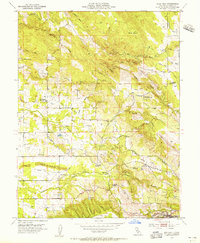
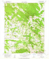
Editions of this 1954 Gold Hill Map
4 editions found

Other maps of this area

1888 · Smartsville
USGS Topo · 1:125,000

1891 · Sacramento
USGS Topo · 1:125,000

1891 · Smartsville
USGS Topo · 1:125,000

1892 · Sacramento
USGS Topo · 1:125,000

1892 · Smartsville
USGS Topo · 1:125,000

1893 · Sacramento
USGS Topo · 1:125,000

1894 · Smartsville
USGS Topo · 1:125,000

1895 · Smartsville
USGS Topo · 1:125,000
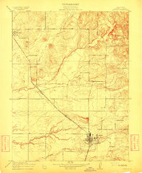
1910 · Lincoln
USGS Topo · 1:31,680

1910 · Roseville
USGS Topo · 1:31,680