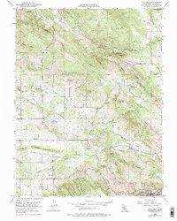
1954 Map of Gold Hill
USGS Topo · Published 1976About this map
Virginiatown and the surrounding Placer County foothills reveal a landscape deeply marked by California's mining history as it stood in the mid-20th century. The prominent expanse of Dredge Tailings south of town illustrates the scale of past industrial operations, while the Crosby Mine and numerous irrigation features like the Whisky Diggins Canal and Lone Star Canal speak to the complex management of water for both extraction and agriculture. Social infrastructure is well-defined by the Gold Hill Grange Hall and a network of rural schoolhouses, including the Fruitvale Sch and the then-abandoned Columbia Sch. To the southeast, the town of Newcastle serves as a hub for the Southern Pacific railroad, connecting these upland ravines—such as Doty Ravine and Dutch Ravine—to the broader region during this era of transitioning land use.
Find a feature on this map
31 named features on this map. Tap any name to fly to it.
Don’t see what you’re looking for? This feature index may not catch every label — zoom into the map to look around manually.
Map Details
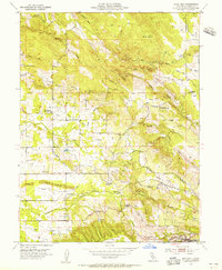
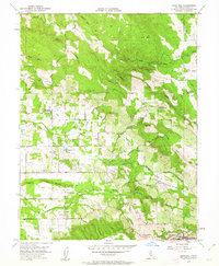
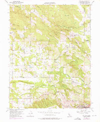
Editions of this 1954 Gold Hill Map
4 editions found
Other maps of this area

1888 · Smartsville
USGS Topo · 1:125,000

1891 · Sacramento
USGS Topo · 1:125,000

1891 · Smartsville
USGS Topo · 1:125,000

1892 · Sacramento
USGS Topo · 1:125,000

1892 · Smartsville
USGS Topo · 1:125,000

1893 · Sacramento
USGS Topo · 1:125,000

1894 · Smartsville
USGS Topo · 1:125,000

1895 · Smartsville
USGS Topo · 1:125,000

1910 · Lincoln
USGS Topo · 1:31,680

1910 · Roseville
USGS Topo · 1:31,680