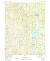
1981 Map of Gold Lake
USGS Topo · Published 1985About this map
High Sierra mining history and mid-century recreation converge in this 1980s-era study of the Lakes Basin. The terrain is marked by an extensive legacy of resource extraction, with deep-seated quartz and gold interests represented by the Jamison Mine (Site) and the Empire Mine. These industrial sites, alongside the Four Hills Mine and Sisson Mine, speak to a century of hard-rock prospecting that defined the local economy before the region transitioned toward seasonal tourism.
Find a feature on this map
81 named features on this map. Tap any name to fly to it.
Don’t see what you’re looking for? This feature index may not catch every label — zoom into the map to look around manually.
Map Details
Editions of this 1981 Gold Lake Map
3 editions found
Other maps of this area

1891 · Downieville
USGS Topo · 1:125,000

1893 · Downieville
USGS Topo · 1:125,000

1895 · Downieville
USGS Topo · 1:125,000

1896 · Downieville
USGS Topo · 1:125,000

1897 · Downieville
USGS Topo · 1:125,000

1937 · Blairsden
USGS Topo · 1:48,000

1943 · Blairsden
USGS Topo · 1:62,500
1951 · Mt. Fillmore
USGS Topo · 1:24,000
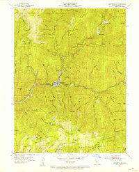
1951 · Downieville
USGS Topo · 1:24,000
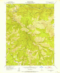
1951 · Blue Nose Mtn
USGS Topo · 1:24,000