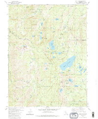
1981 Map of Gold Lake
USGS Topo · Published 1986About this map
Gold Lake and the high-elevation basin surrounding Mt Elwell dominate this 1980s landscape, which spans the boundary between Plumas National Forest and Tahoe National Forest. The map provides a detailed look at a region transitioning from its hard-rock mining heritage to a premier recreation destination. Traces of the area's industrial past are visible at the Jamison Mine (Site) and the Empire Mine, while the presence of a Sawmill and several ruins hint at earlier logging and milling operations.
Find a feature on this map
76 named features on this map. Tap any name to fly to it.
Don’t see what you’re looking for? This feature index may not catch every label — zoom into the map to look around manually.
Map Details
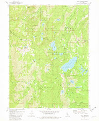
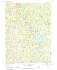
Editions of this 1981 Gold Lake Map
3 editions found
Other maps of this area

1891 · Downieville
USGS Topo · 1:125,000

1893 · Downieville
USGS Topo · 1:125,000

1895 · Downieville
USGS Topo · 1:125,000

1896 · Downieville
USGS Topo · 1:125,000

1897 · Downieville
USGS Topo · 1:125,000

1937 · Blairsden
USGS Topo · 1:48,000

1943 · Blairsden
USGS Topo · 1:62,500
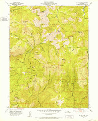
1951 · Mt. Fillmore
USGS Topo · 1:24,000
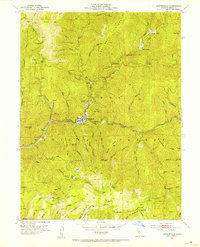
1951 · Downieville
USGS Topo · 1:24,000
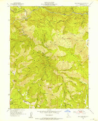
1951 · Blue Nose Mtn
USGS Topo · 1:24,000