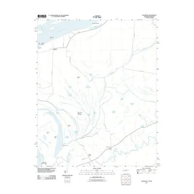
2011 Map of Golddust
USGS Topo · Published 2011About this map
Chickasaw Bluff Number One rises above the Mississippi River in this Tennessee-Arkansas borderland, where the shifting river channel creates a complex network of bars, sloughs, and islands. Small settlements like Oak Grove and Golddust are connected by a web of rural roads such as Grammer Rd and Crutcher Lake Rd, reflecting a landscape deeply influenced by the seasonal rhythms of the water. The presence of Bates Cemetery and Samuels Cemetery provides a tangible link to the local families who have farmed this alluvial plain.
Find a feature on this map
51 named features on this map. Tap any name to fly to it.
Don’t see what you’re looking for? This feature index may not catch every label — zoom into the map to look around manually.
Map Details
Editions of this 2011 Golddust Map
This is the sole edition of this map. No revisions or reprints were ever made.
Other maps of this area

1939 · Hales Point
USGS Topo · 1:62,500

1939 · Blytheville
USGS Topo · 1:62,500

1952 · Hales Point
USGS Topo · 1:62,500

1955 · Blytheville
USGS Topo · 1:62,500

1956 · Blytheville
USGS Topo · 1:250,000

1959 · Blytheville
USGS Topo · 1:250,000

1961 · Hales Point
USGS Topo · 1:62,500

1961 · Rialto
USGS Topo · 1:62,500

1962 · Rialto
USGS Topo · 1:62,500

1962 · Hales Point
USGS Topo · 1:62,500