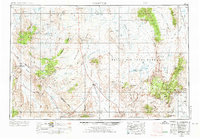
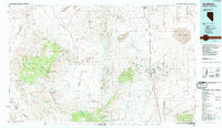
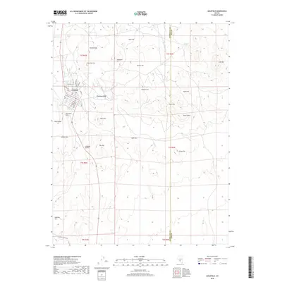
1954 Map of Goldfield
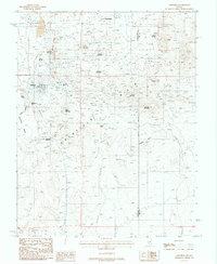
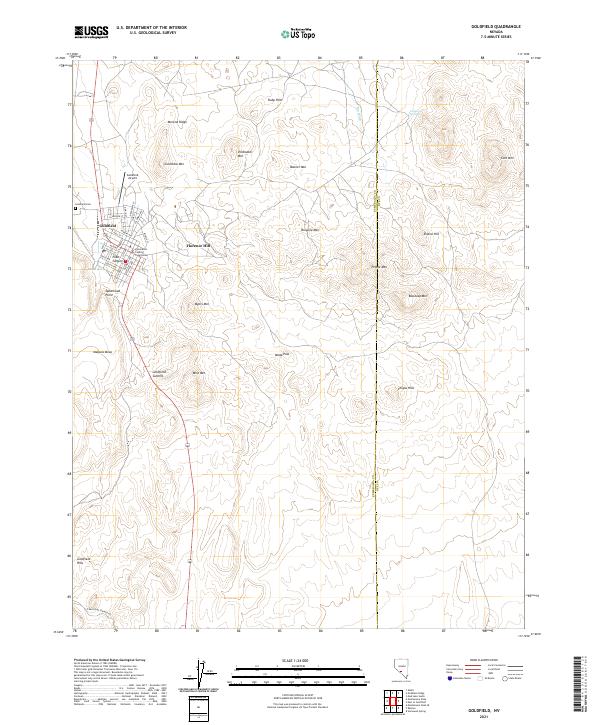
USGS Topo · Published 1973About this map
Goldfield serves as the focal point of this Nevada desert survey, surrounded by a landscape defined by mining operations and military installations. The high-altitude terrain is dotted with notable claims like the Silver King Mine and the General Thomas site, alongside numerous unnamed shafts that indicate the intensity of mineral prospecting in the Montezuma Range. To the east, the sprawling Nellis Air Force Range occupies much of the desert floor, while the southern boundary includes a portion of the Death Valley National Monument. The map records a complex network of springs such as Gap Spring and Lida Spring, which were vital for sustaining small settlements like Lida and Bonnie Claire in this arid environment. This edition reflects the mid-century intersection of traditional mining, burgeoning military land use, and early conservation efforts in the Great Basin.
Find a feature on this map
140 named features on this map. Tap any name to fly to it.
Don’t see what you’re looking for? This feature index may not catch every label — zoom into the map to look around manually.
Map Details
Editions of this 1954 Goldfield Map
3 editions found

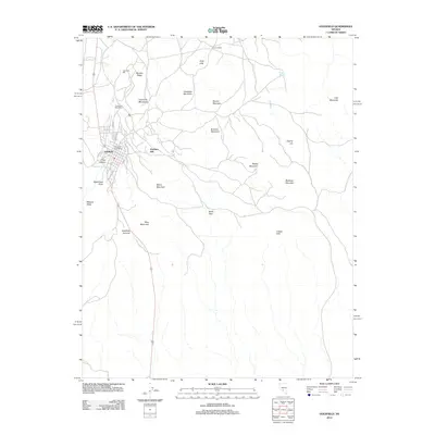
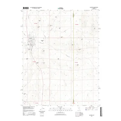
Historical Maps of Goldfield Through Time
12 maps found
1945 Goldfield
Esmeralda County, NV
1952 Goldfield
Esmeralda County, NV
1954 Goldfield
Esmeralda County, NV

1955 Goldfield
Esmeralda County, NV

1958 Goldfield
Esmeralda County, NV

1962 Goldfield
Esmeralda County, NV
1985 Goldfield
Esmeralda County, NV
1987 Goldfield
Esmeralda County, NV
2012 Goldfield
Esmeralda County, NV
2014 Goldfield
Esmeralda County, NV
2018 Goldfield
Esmeralda County, NV
2021 Goldfield
Esmeralda County, NV