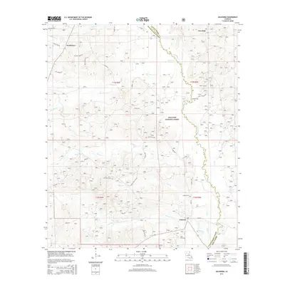
2015 Map of Goldonna
USGS Topo · Published 2015About this map
Saline Bayou carves a winding path along the border of Natchitoches and Winn Parishes, serving as a primary drainage for this heavily forested landscape. Much of the eastern portion of the quadrangle is occupied by the Kisatchie National Forest, where the terrain is marked by a dense network of creek branches like Luster Br and Bates Br. The settlement of Goldonna is situated in the southern reach of the map, anchored by Main Ave and Loop Rd, while the Goldonna Cem provides a focal point for local genealogical interest. Further north, the communities of Readheimer and Pine Ridge appear as established rural nodes. The landscape is defined by its water systems, including Eightmile Cr and Choctaw Cr, which feed into the bayou. Numerous family-named roads, such as Roy Johnson Rd and Albert Conley Rd, suggest long-standing land ownership patterns and rural homesteads throughout the parish.
Find a feature on this map
39 named features on this map. Tap any name to fly to it.
Don’t see what you’re looking for? This feature index may not catch every label — zoom into the map to look around manually.
Map Details
Editions of this 2015 Goldonna Map
This is the sole edition of this map. No revisions or reprints were ever made.
Other maps of this area
1937 · Campti NE
USGS Topo · 1:31,680
1944 · Campti
USGS Topo · 1:62,500
1947 · Goldonna
USGS Topo · 1:62,500
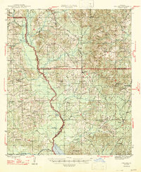
1947 · Ashland
USGS Topo · 1:62,500
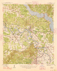
1948 · Campti
USGS Topo · 1:62,500
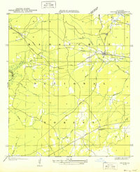
1949 · Calvin NE
USGS Topo · 1:31,680
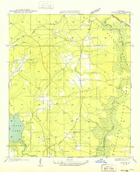
1949 · Calvin NW
USGS Topo · 1:31,680

1953 · Alexandria
USGS Topo · 1:250,000
1955 · Shreveport
USGS Topo · 1:250,000

1955 · Alexandria
USGS Topo · 1:250,000