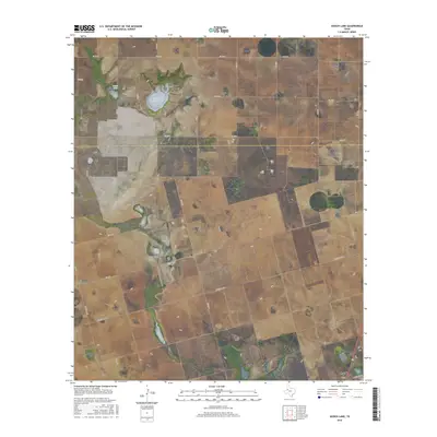
2016 Map of Gooch Lake
USGS Topo · Published 2016About this map
Gooch Lake and the neighboring Saleh Lake anchor this High Plains landscape, where the shallow depressions of ephemeral basins dictate the local topography across the border of Lynn and Dawson Counties. The map reveals a highly structured grid of section lines and rural thoroughfares, reflecting the systematic agricultural development typical of West Texas. In the western portion of the sheet, the settlement of Grandview serves as a navigational point along Ranch Rd 179, while an intricate network of county roads, including Co Rd 36 and Co Rd 10, connects the scattered farmsteads and ranches. Long arterial routes like Ranch Rd 1066 and FM 2053 cut across the geometric land parcels, illustrating the connectivity required for the region's vast farming and ranching operations during the early twenty-first century.
Find a feature on this map
23 named features on this map. Tap any name to fly to it.
Don’t see what you’re looking for? This feature index may not catch every label — zoom into the map to look around manually.
Map Details
Editions of this 2016 Gooch Lake Map
This is the sole edition of this map. No revisions or reprints were ever made.
Other maps of this area

1954 · Lubbock
USGS Topo · 1:250,000

1954 · Hobbs
USGS Topo · 1:250,000

1954 · Big Spring
USGS Topo · 1:250,000

1954 · Brownfield
USGS Topo · 1:250,000

1958 · Brownfield
USGS Topo · 1:250,000

1958 · Big Spring
USGS Topo · 1:250,000

1958 · Hobbs
USGS Topo · 1:250,000

1962 · Brownfield
USGS Topo · 1:250,000
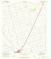
1968 · Lamesa North
USGS Topo · 1:24,000
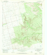
1968 · Hancock
USGS Topo · 1:24,000