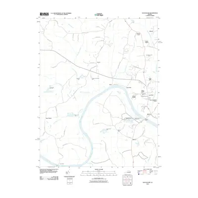
2010 Map of Goochland
USGS Topo · Published 2010About this map
The James River carves a sweeping path through this part of Virginia, defining the agricultural and residential layout of the region. Near the river's southern bend, the Virginia Industrial School Lake and Beaumont occupy a significant portion of the landscape. The county seat at Goochland serves as a primary hub, anchored by the Goochland Post Office and surrounded by evolving residential developments like Village Acres and East Courthouse Estates.
Find a feature on this map
72 named features on this map. Tap any name to fly to it.
Don’t see what you’re looking for? This feature index may not catch every label — zoom into the map to look around manually.
Map Details
Editions of this 2010 Goochland Map
This is the sole edition of this map. No revisions or reprints were ever made.
Other maps of this area

1890 · Goochland
USGS Topo · 1:125,000

1891 · Palmyra
USGS Topo · 1:125,000

1892 · Goochland
USGS Topo · 1:125,000

1895 · Palmyra
USGS Topo · 1:125,000

1897 · Palmyra
USGS Topo · 1:125,000

1943 · Goochland
USGS Topo · 1:31,680

1943 · Fine Creek Mills
USGS Topo · 1:31,680

1943 · Powhatan
USGS Topo · 1:31,680

1943 · Perkinsville
USGS Topo · 1:31,680

1943 · South Anna
USGS Topo · 1:24,000