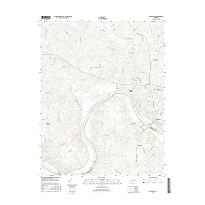
2016 Map of Goochland
USGS Topo · Published 2016About this map
The James River snakes through the heart of this Virginia landscape, defining the boundary between Goochland and Powhatan counties. The northern banks are characterized by several established settlements, including the county seat of Goochland and the community of Maidens, where the Michaux Bridge provides a vital crossing point. The terrain is marked by significant hydrological features like Big Lickinghole Cr and Little Lickinghole Cr, alongside several agricultural and recreational water bodies such as Kelona Farm Pond and Bolling Hall Lake.
Find a feature on this map
77 named features on this map. Tap any name to fly to it.
Don’t see what you’re looking for? This feature index may not catch every label — zoom into the map to look around manually.
Map Details
Editions of this 2016 Goochland Map
This is the sole edition of this map. No revisions or reprints were ever made.
Other maps of this area

1890 · Goochland
USGS Topo · 1:125,000

1891 · Palmyra
USGS Topo · 1:125,000

1892 · Goochland
USGS Topo · 1:125,000

1895 · Palmyra
USGS Topo · 1:125,000

1897 · Palmyra
USGS Topo · 1:125,000
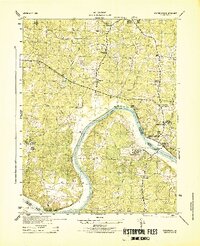
1943 · Goochland
USGS Topo · 1:31,680
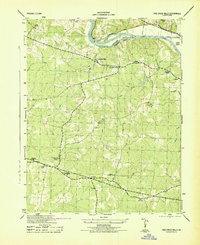
1943 · Fine Creek Mills
USGS Topo · 1:31,680
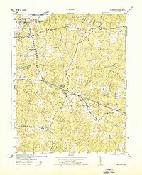
1943 · Powhatan
USGS Topo · 1:31,680
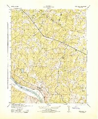
1943 · Perkinsville
USGS Topo · 1:31,680
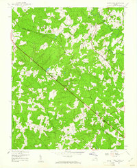
1943 · South Anna
USGS Topo · 1:24,000