
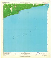
1958 Map of Good Harbor Bay
USGS Topo · Published 1959About this map
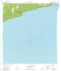
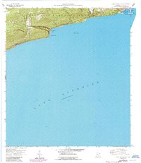
Grand Marais and the surrounding North Shore landscape of the late 1950s are defined by the meeting of the Superior National Forest and the vast waters of Lake Superior. This survey documents a critical harbor of refuge and the emerging infrastructure of Cook County, featuring the Grand Marais Harbor with its Gaging Sta and a prominent Lookout Tower. The coastline follows a series of distinct geological features, from the prominence of Terrace Point to the small offshore Rock Island within Good Harbor Bay. Inland, the map captures the local community footprint through the Town Hall and the Poplar Grove Cem, while the course of the Fall River and Good Harbor Creek illustrate the drainage of the upland forest into the great lake.
Find a feature on this map
15 named features on this map. Tap any name to fly to it.
Don’t see what you’re looking for? This feature index may not catch every label — zoom into the map to look around manually.
Map Details
Editions of this 1958 Good Harbor Bay Map
4 editions found
Other maps of this area

1919 · Brule Lake
USGS Topo · 1:62,500

1919 · Grand Marais
USGS Topo · 1:62,500

1919 · Lutsen
USGS Topo · 1:62,500

1954 · Two Harbors
USGS Topo · 1:250,000

1957 · Two Harbors
USGS Topo · 1:250,000

1958 · Two Harbors
USGS Topo · 1:250,000

1958 · Deer Yard Lake
USGS Topo · 1:24,000

1960 · Grand Marais
USGS Topo · 1:24,000
1960 · Devil Track Lake
USGS Topo · 1:24,000

1960 · Mark Lake
USGS Topo · 1:24,000