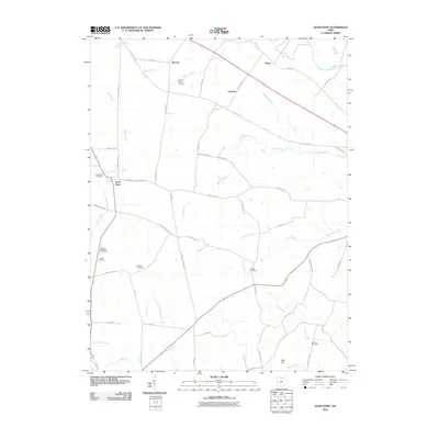
2010 Map of Good Hope
USGS Topo · Published 2010About this map
Good Hope serves as a central point in this part of Fayette and Ross counties, where the landscape is defined by a dense network of country roads and family-named landmarks. Several distinct burial sites, including the Eyeman-Bryant Cemetery and Rogers McElwain Cemetery, offer significant value for genealogical research and tracing the early families of the region. The drainage patterns of Herrod Creek, Buckskin Creek, and Indian Creek carve through the agricultural terrain, connecting smaller settlements like McLean and Plano.
Find a feature on this map
62 named features on this map. Tap any name to fly to it.
Don’t see what you’re looking for? This feature index may not catch every label — zoom into the map to look around manually.
Map Details
Editions of this 2010 Good Hope Map
This is the sole edition of this map. No revisions or reprints were ever made.
Other maps of this area

1906 · Mt Sterling
USGS Topo · 1:62,500

1911 · Era
USGS Topo · 1:62,500

1912 · Roxabell
USGS Topo · 1:62,500

1913 · Era
USGS Topo · 1:62,500

1914 · Roxabell
USGS Topo · 1:62,500

1917 · Greenfield
USGS Topo · 1:62,500

1943 · Era
USGS Topo · 1:62,500

1944 · Greenfield
USGS Topo · 1:62,500

1944 · Roxabell
USGS Topo · 1:62,500

1947 · Columbus
USGS Topo · 1:250,000