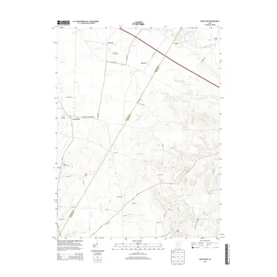
2013 Map of Good Hope
USGS Topo · Published 2013About this map
The agricultural landscape of Good Hope and Plano is defined by a dense network of country roads and family farmsteads along the border of Fayette and Ross counties. Several historical burial sites are preserved across these fields, including the Good Hope Cem, Eyeman Bryant Cem, and Rogers McElwain Cem, offering significant data points for genealogical research in this part of Ohio. The terrain is marked by numerous watercourses such as Buckskin Cr and Whetstone Run that dictate the placement of early settlements like McLean and Fairview. Named land holdings such as Ratliff Farms and Slagle Farm illustrate the persisting pattern of large-scale rural ownership, while landmarks like Slate Hill provide natural elevation points above the surrounding creek valleys.
Find a feature on this map
61 named features on this map. Tap any name to fly to it.
Don’t see what you’re looking for? This feature index may not catch every label — zoom into the map to look around manually.
Map Details
Editions of this 2013 Good Hope Map
This is the sole edition of this map. No revisions or reprints were ever made.
Other maps of this area

1906 · Mt Sterling
USGS Topo · 1:62,500

1911 · Era
USGS Topo · 1:62,500

1912 · Roxabell
USGS Topo · 1:62,500

1913 · Era
USGS Topo · 1:62,500

1914 · Roxabell
USGS Topo · 1:62,500

1917 · Greenfield
USGS Topo · 1:62,500

1943 · Era
USGS Topo · 1:62,500

1944 · Greenfield
USGS Topo · 1:62,500

1944 · Roxabell
USGS Topo · 1:62,500

1947 · Columbus
USGS Topo · 1:250,000