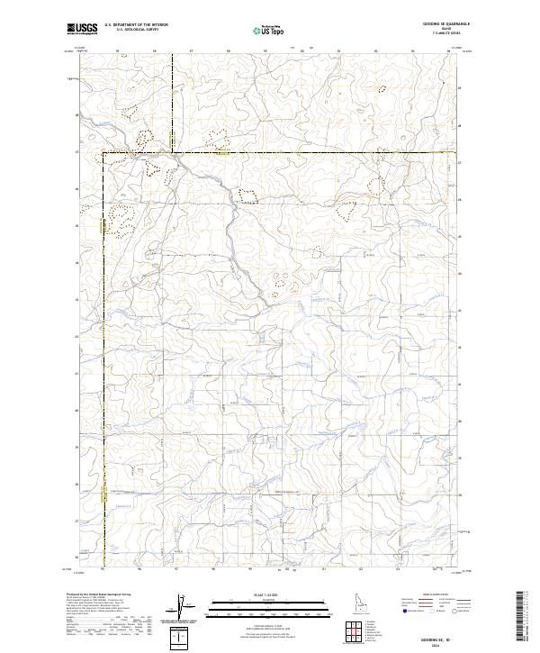
2024 Map of Gooding SE
USGS Topo · Published 2024About this map
Agricultural development and water management define this landscape at the intersection of Gooding, Lincoln, and Jerome counties. The terrain is crisscrossed by an intricate network of irrigation channels, including the major X Canal, U Canal, and S Canal, which supply a series of laterals that serve the surrounding farmsteads. This systematic distribution of water transformed the arid High Desert into productive land, a feat of engineering visible in the orderly grid of the public land survey system.
Find a feature on this map
50 named features on this map. Tap any name to fly to it.
Don’t see what you’re looking for? This feature index may not catch every label — zoom into the map to look around manually.
Map Details
Editions of this 2024 Gooding SE Map
This is the sole edition of this map. No revisions or reprints were ever made.
Other maps of this area

1950 · Niagara Springs
USGS Topo · 1:24,000

1950 · Jerome
USGS Topo · 1:24,000

1950 · Jerome
USGS Topo · 1:62,500

1955 · Twin Falls
USGS Topo · 1:250,000

1958 · Twin Falls
USGS Topo · 1:250,000

1964 · Falls City
USGS Topo · 1:24,000
1971 · Wendell
USGS Topo · 1:24,000

1971 · Tunupa
USGS Topo · 1:24,000
1971 · Gooding SE
USGS Topo · 1:24,000
1971 · Gooding
USGS Topo · 1:24,000