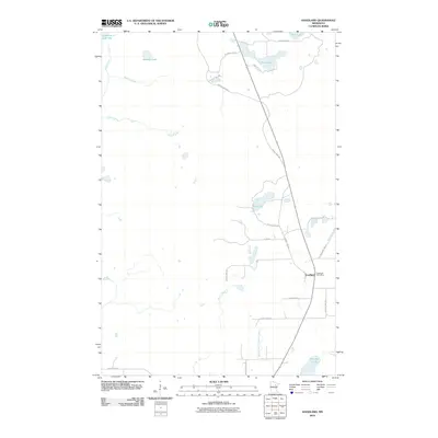
2010 Map of Goodland
USGS Topo · Published 2010About this map
The Goodland Post Office serves as the central landmark for the small settlement of Goodland, located in a landscape defined by an extensive network of glacial lakes and slow-moving waterways. This 2010 survey shows a terrain dominated by water features, from the curiously named Lammon Aid Lake in the northwest to the southern reaches of Pancake Lake. The drainage pattern is led by the West Branch Floodwood River and Bruce Creek, which navigate through a low-lying area where numerous smaller bodies like Rosholt Lake, Twin Lake, and New Lake are connected by a system of rural county roads. The road network, including County Hwy-16 and Plum Rd, highlights how modern infrastructure has adapted to the saturated soils of the northern woods, providing access to these scattered water bodies and the surrounding timberland.
Find a feature on this map
26 named features on this map. Tap any name to fly to it.
Don’t see what you’re looking for? This feature index may not catch every label — zoom into the map to look around manually.
Map Details
Editions of this 2010 Goodland Map
This is the sole edition of this map. No revisions or reprints were ever made.
Other maps of this area

1920 · Trout Lake
USGS Topo · 1:62,500

1952 · Silica
USGS Topo · 1:24,000

1952 · Calumet
USGS Topo · 1:24,000

1952 · Pengilly
USGS Topo · 1:24,000

1954 · Hibbing
USGS Topo · 1:250,000

1957 · Hibbing
USGS Topo · 1:250,000

1958 · Hibbing
USGS Topo · 1:250,000

1964 · Hibbing
USGS Topo · 1:250,000

1969 · Wawina
USGS Topo · 1:24,000
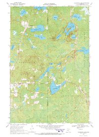
1969 · Floodwood Lake
USGS Topo · 1:24,000