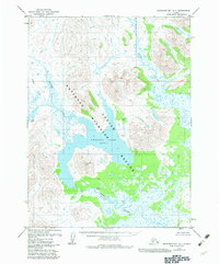
1979 Map of Goodnews Bay A-1
USGS Topo · Published 1983About this map
Amanka Lake dominates the central landscape of this wilderness survey, situated within the expansive Togiak National Wildlife Refuge. The terrain is characterized by a complex network of waterways, including the meandering Igushik River and the Weary River, which drain the mountainous interior toward the coast. Significant topographical features like Sugtutik Peak rise sharply from the low-lying river basins and swampy plains.
Find a feature on this map
16 named features on this map. Tap any name to fly to it.
Don’t see what you’re looking for? This feature index may not catch every label — zoom into the map to look around manually.
Map Details
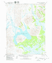
Editions of this 1979 Goodnews Bay A-1 Map
2 editions found
Other maps of this area

1945 · Nushagak Bay
USGS Topo · 1:250,000

1948 · Nushagak Bay D-4
USGS Topo · 1:63,360

1948 · Nushagak Bay D-3
USGS Topo · 1:63,360

1949 · Nushagak Bay
USGS Topo · 1:250,000

1950 · Nushagak Bay D-5
USGS Topo · 1:63,360

1951 · Dillingham
USGS Topo · 1:250,000

1951 · Goodnews
USGS Topo · 1:250,000

1951 · Nushagak Bay
USGS Topo · 1:250,000

1952 · Nushagak Bay D-3
USGS Topo · 1:63,360

1952 · Nushagak Bay D-4
USGS Topo · 1:63,360