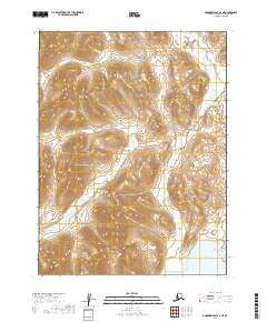
2019 Map of Goodnews Bay A-2 NE
USGS Topo · Published 2019About this map
The Wood River Mountains dominate this 2019 survey, showcasing the high-elevation topography of the Dillingham Census Area. This high-country landscape is defined by the drainage patterns of the Ongoke River and its tributaries, including Francis Cr and Redleaf Cr. The map's southern edge reveals the shoreline of Ualik Lake, a significant water body situated at the foot of these peaks.
Find a feature on this map
9 named features on this map. Tap any name to fly to it.
Don’t see what you’re looking for? This feature index may not catch every label — zoom into the map to look around manually.
Map Details
Editions of this 2019 Goodnews Bay A-2 NE Map
This is the sole edition of this map. No revisions or reprints were ever made.
Other maps of this area

1951 · Goodnews
USGS Topo · 1:250,000
1979 · Goodnews Bay A-1
USGS Topo · 1:63,360

1979 · Goodnews Bay B-2
USGS Topo · 1:63,360

1979 · Goodnews Bay B-1
USGS Topo · 1:63,360

1979 · Goodnews Bay
USGS Topo · 1:250,000
1979 · Goodnews Bay A-2
USGS Topo · 1:63,360
2019 · Goodnews Bay A-2 NW
USGS Topo · 1:25,000
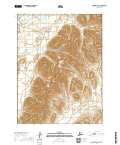
2019 · Goodnews Bay A-2 SW
USGS Topo · 1:25,000
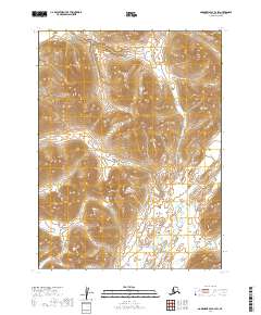
2019 · Goodnews Bay B-2 SW
USGS Topo · 1:25,000
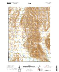
2019 · Goodnews Bay A-1 NW
USGS Topo · 1:25,000