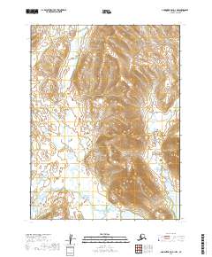
2019 Map of Goodnews Bay A-1 NW
USGS Topo · Published 2019About this map
The Onyoke River winds through this expanse of the Dillingham Census Area, forming a primary drainage system alongside Redleaf Creek and its tributary Redleaf Cr. The landscape is defined by its transition between upland terrain and significant water bodies, notably Amanka Lake in the southeast and Ualik Lake in the southwest. This 2019 survey documents a vast, unpopulated wilderness where the topography is primarily shaped by the water networks of the Longarm Cr and the larger river valleys. The lack of roads or structures within these survey boundaries reflects the preserved nature of this Alaskan interior, offering a clear view of the natural hydrology and elevation patterns before any modern human development reached this specific corner of the Dillingham region.
Find a feature on this map
10 named features on this map. Tap any name to fly to it.
Don’t see what you’re looking for? This feature index may not catch every label — zoom into the map to look around manually.
Map Details
Editions of this 2019 Goodnews Bay A-1 NW Map
This is the sole edition of this map. No revisions or reprints were ever made.
Other maps of this area

1951 · Goodnews
USGS Topo · 1:250,000
1979 · Goodnews Bay A-1
USGS Topo · 1:63,360

1979 · Goodnews Bay B-2
USGS Topo · 1:63,360

1979 · Goodnews Bay B-1
USGS Topo · 1:63,360

1979 · Goodnews Bay
USGS Topo · 1:250,000
1979 · Goodnews Bay A-2
USGS Topo · 1:63,360
2019 · Goodnews Bay A-2 NE
USGS Topo · 1:25,000
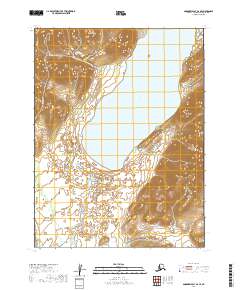
2019 · Goodnews Bay A-2 SE
USGS Topo · 1:25,000
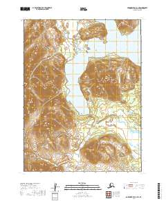
2019 · Goodnews Bay A-1 SW
USGS Topo · 1:25,000
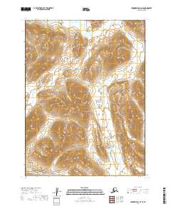
2019 · Goodnews Bay B-2 SE
USGS Topo · 1:25,000