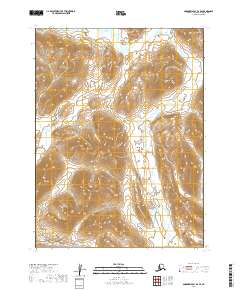
2019 Map of Goodnews Bay B-2 SE
USGS Topo · Published 2019About this map
Ongoke River dominates the eastern drainage of this unpopulated Alaskan landscape, carved by glacial activity and modern watercourses. Located in the Dillingham Census Area, the map illustrates a complex network of high-elevation contours and valley floors where the Kulukak River and No Lake Cr define the hydrological boundaries of the territory. The 2019 survey documents the Public Land Survey System grid across multiple townships, including t10s r60w and t9s r61w, providing a precise record of the land divisions in this wilderness region. The elevation data reveals the steep, repetitive ridges characteristic of the area, offering a clear view of the natural corridors used for navigation and subsistence in the southwest portion of the state.
Find a feature on this map
9 named features on this map. Tap any name to fly to it.
Don’t see what you’re looking for? This feature index may not catch every label — zoom into the map to look around manually.
Map Details
Editions of this 2019 Goodnews Bay B-2 SE Map
This is the sole edition of this map. No revisions or reprints were ever made.
Other maps of this area

1951 · Goodnews
USGS Topo · 1:250,000
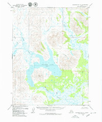
1979 · Goodnews Bay A-1
USGS Topo · 1:63,360

1979 · Goodnews Bay B-2
USGS Topo · 1:63,360

1979 · Goodnews Bay B-1
USGS Topo · 1:63,360

1979 · Goodnews Bay
USGS Topo · 1:250,000
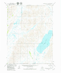
1979 · Goodnews Bay A-2
USGS Topo · 1:63,360
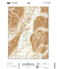
2019 · Goodnews Bay A-2 NW
USGS Topo · 1:25,000
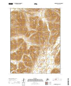
2019 · Goodnews Bay B-2 SW
USGS Topo · 1:25,000
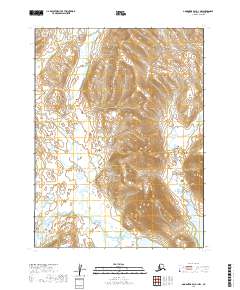
2019 · Goodnews Bay A-1 NW
USGS Topo · 1:25,000
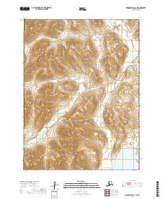
2019 · Goodnews Bay A-2 NE
USGS Topo · 1:25,000