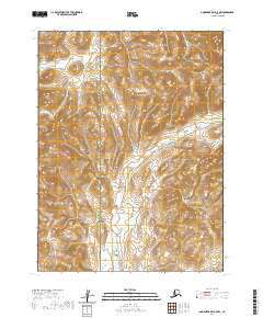
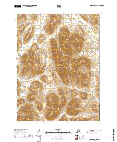
2020 Map of Goodnews Bay A-5 NW
USGS Topo · Published 2020About this map
The Bethel Census Area and Dillingham Census Area border runs through this remote stretch of the Alaska wilderness, where the landscape is defined by the winding paths of glacial melt and tundra drainage. The Matogak River dominates the central and eastern portions of the map, carving a complex network of channels through the lowlands before the terrain rises into steep, unnamed peaks. In the western reaches, the S Fork Goodnews River enters the frame, marking a critical corridor for seasonal subsistence and travel. The absence of roads or established settlements underscores the wild character of this region, which remains primarily organized by the township and range lines of the Public Land Survey System, including t11s r69w and t12s r68w. This 2020 topographic record serves as a vital document for those studying the hydrologic patterns and political boundaries of Southwest Alaska.
Find a feature on this map
7 named features on this map. Tap any name to fly to it.
Don’t see what you’re looking for? This feature index may not catch every label — zoom into the map to look around manually.
Map Details
Editions of this 2020 Goodnews Bay A-5 NW Map
This is the sole edition of this map. No revisions or reprints were ever made.
Other maps of this area

1951 · Goodnews
USGS Topo · 1:250,000

1954 · Goodnews A-6
USGS Topo · 1:63,360

1954 · Goodnews B-6
USGS Topo · 1:63,360

1979 · Goodnews Bay A-5
USGS Topo · 1:63,360

1979 · Goodnews Bay B-5
USGS Topo · 1:63,360

1979 · Goodnews Bay
USGS Topo · 1:250,000
2020 · Goodnews Bay A-5 SW
USGS Topo · 1:25,000
2020 · Goodnews Bay A-5 NE
USGS Topo · 1:25,000
2020 · Goodnews Bay B-5 SW
USGS Topo · 1:25,000
2020 · Goodnews Bay A-6 SE
USGS Topo · 1:25,000